|
|
|
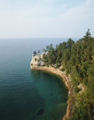
With nearly 1,180 cubic miles of water, Lake Michigan is the
second-largest in volume of the five Great Lakes. It is also the
only Great Lake entirely in the Unites States; all others share
shorelines with Canada. Four states touch the lake: Michigan
on the north and east; Indiana and Illinois to the south; and Wisconsin
to the west. The "lake effect" produced by cold winds sweeping down
over its waters during winter creates heavy snows on its eastern
shores. At approximately 307 miles long and 118 miles wide, it
boasts over 1,600 miles of shoreline. Major metropolitan centers
along those shores include Milwaukee and Chicago. The Lake Michigan
region is a popular vacation destination for Midwesterners, with local
draws ranging from the exciting nightlife of Chicago to serene
countryside filled with cherry orchards and rustic campgrounds.
Michigan Lakeshore
• Michigan - Find travel information, maps, tourist resources, and more photos of Michigan.
• Lake Michigan - Features Lake Michigan maps plus environmental and tourism information.
Copyright © 2006-2024 Zeducorp.
All rights reserved.
Lake Michigan
|
