Map of Illinois
Online Atlas > Illinois > Map of Illinois
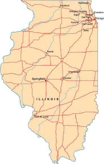
Illinois is bordered by Wisconsin to the north, by Iowa and Missouri to the west, by Kentucky to the south, by Indiana to the east, and by Lake Michigan to the northeast.
Leading cities on the map of Illinois include Springfield, Chicago, Champaign, Decatur, Peoria, Rockford, and East St. Louis.
A more detailed Illinois road map, with numbered highways and scenic route information, can be found on this map website.
Copyright © 2007-2026 Zeducorp.
All rights reserved.
All rights reserved.