Map of South Dakota
Online Atlas > South Dakota > Map of South Dakota
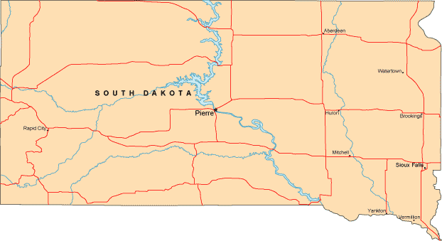
South Dakota is bordered by North Dakota to the north, by Montana and Wyoming to the west, by Nebraska to the south, and by Iowa and Minnesota to the east.
Leading cities on the map of South Dakota include Pierre and Sioux Falls.
A more detailed South Dakota road map, with numbered highways and scenic route information, can be found on this map website.
Copyright © 2007-2026 Zeducorp.
All rights reserved.
All rights reserved.